Evideri Project Update

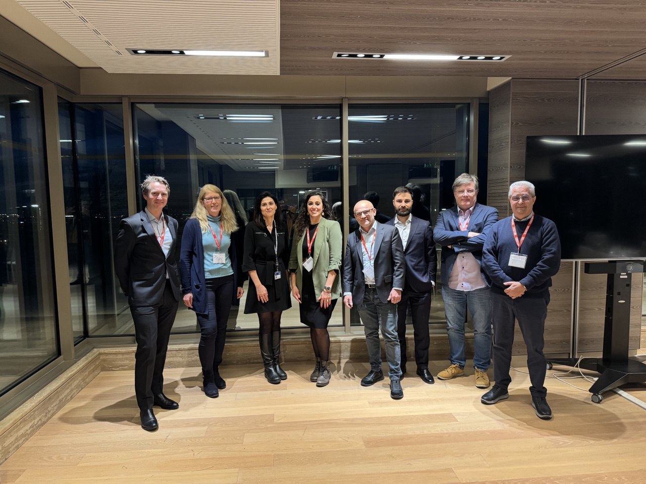
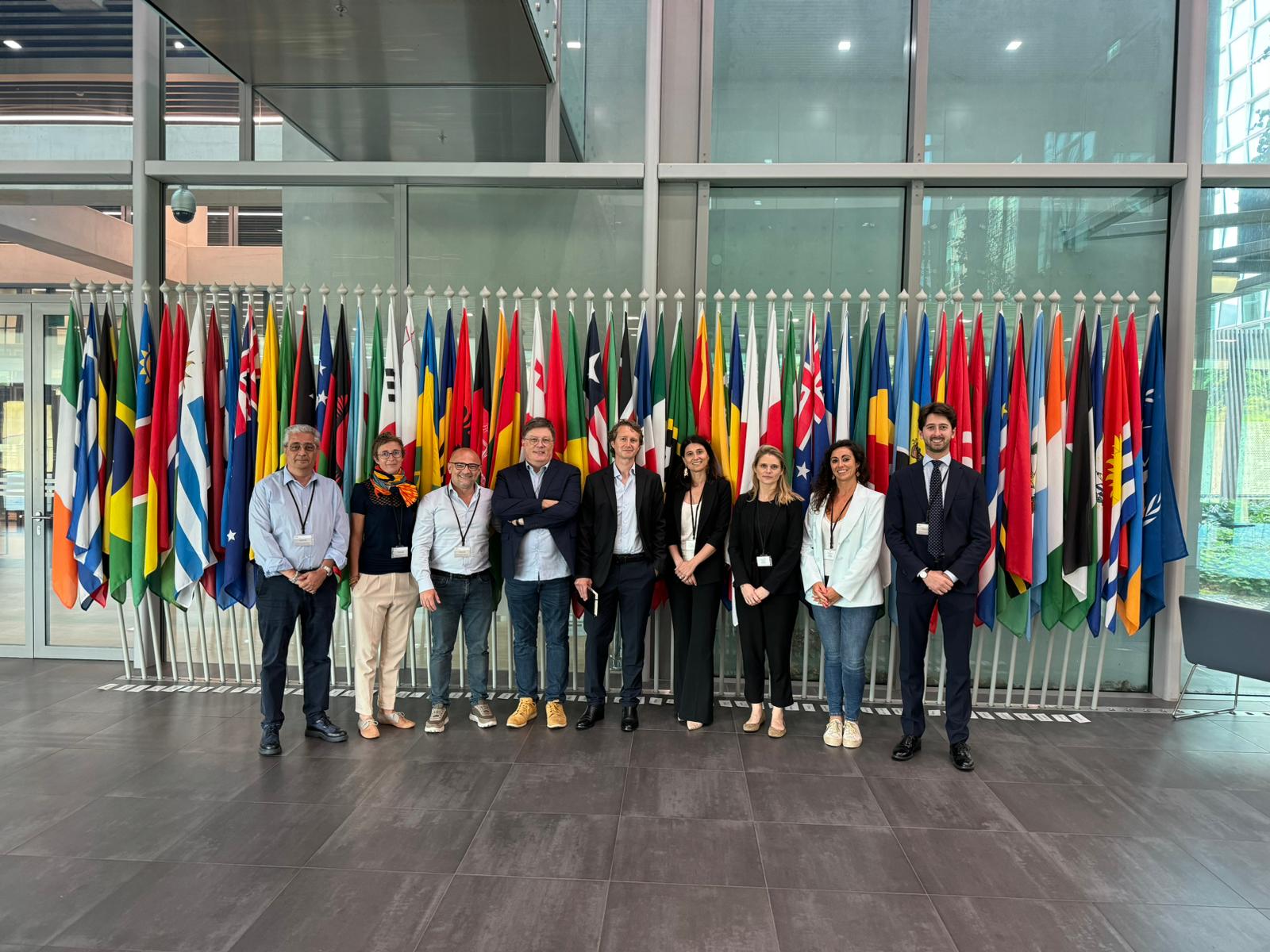
Today, the EVIDERI consortium, composed of sarmap SA, IABG, and Janes Group UK Limited, had the honor of visiting the International Criminal Court headquarters in The Hague, Netherlands, to present and discuss the first results obtained within the framework of the #EVIDERI project.

This initiative, financed by the European Space Agency – ESA, aims to standardize investigative procedures and promote the utilization of #EarthObservation (EO) and Open Source Intelligence (#OSINT) data as legal evidence in investigations and proceedings related to crimes of concern to the international community.

We extend our gratitude to the International Criminal Court for hosting this first in-person meeting. It was an exceptional opportunity to gain feedback and requirements from experts for developing this challenging and exciting project.

Evideri Project

The Consortium composed by sarmap SAIABG, and Janes Group UK Limited, is delighted to announce the kick off of the European Space Agency – ESA research project “EO4SECURITY – INTEGRATING EO AND NON-EO INFORMATION WITHIN STAKEHOLDER ENVIRONMENTS”.

This initiative aims to standardize investigative procedures and promote the utilization of Earth Observation (EO) and Open Source Intelligence (OSINT) data as legal evidence, in investigations and proceedings related to crimes of concern to the international community.
The project’s kickoff meeting was successfully conducted at the ESA headquarters in Frascati (Esrin) at the end of September 2023.

The ”Evideri” project, a Latin word that translates to ”To be revealed”, has already begun engaging with end-users who hold a crucial role in achieving the activity’s goals and consistently confront mission-critical challenges in their daily activities.

Stay tuned for more updates!


SARscape 5.7.0 New release

🚀 We are thrilled to announce the release of SARscape 5.7.0! 🚀

The latest version of SARscape introduces a range of new features and algorithmic improvements, aimed at enhancing your experience. Here are the key highlights among the new enhancements:

– E-PS & E-SBAS: The new Enhanced-PS and Enhanced-SBAS interferometric stacking techniques identify and process both Distributed Scatterers (DS) and Permanent Scatterers (PS) to offer a more comprehensive and valuable output;

– New post-processing tools for analyzing your displacement time series;

– Four new SAR sensors are now supported: Umbra, LuTan-1, SV-2, and EOS-04, bringing the total number of supported space-borne SAR sensors in SARscape to 32.

For more information visit:

SARscape 5.7

Please, contact your local NV5 distributor to get SARscape.

SARMAP & RADAZ at DroneX Trade Show & Conference

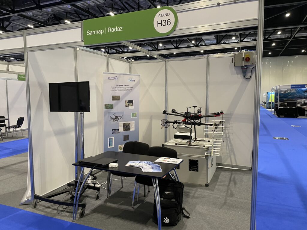
sarmap SA is participating with Radaz at DroneX Trade Show & Conference, ExCel Exhibilition Centre, London. Find us at stand H36 from the 7th to the 8th of September. We will be happy to present you our new product DRONE SAR, a complete hardware and software solution, to reconstruct 2D and 3D images of terrain, infrastructures, vegetation, and to monitor deformations.

https://lnkd.in/dCq3Dc-J

SARscape 5.6.2 New release

We are pleased to announce the new release of SARscape 5.6.2 and SARscape Analytics Toolbox 5.6.2

The most meaningful developments are listed here below:
SBAS: Automatic refinement and reflattening, GCP are now optional and not required anymore.
• Import GACOS: Possibility to use Generic Atmospheric Correction Online Service to improve the Atmospheric Correction within Interferometry and Interferometric Stacking processing.
Time Series Classification: Possibility to automatically classify the displacement time series according to phenomenological and parametrical analyses.
Import Sentinel-1: Possibility to import Sentinel-1 data from a zip folder to reduce the disk usage.

For more information visit :

SARscape 5.6.2

SARscape Analytics Toolbox 5.6.2

Please, contact your local Harris distributor to get SARscape.

New paper in Remote Sensing

We are please to share a new article “Do We Need A Higher Resolution? Case Study: Sentinel-1-Based Change Detection of the 2018 Hokkaido Landslides, Japan” published in Remote Sensing as part of the Special Issue Improving Disaster Damage and Loss Assessments by Modeling and Remote Sensing Techniques.

pdf version

Mauritius oil spill spread mapped from Sentinel-1 data

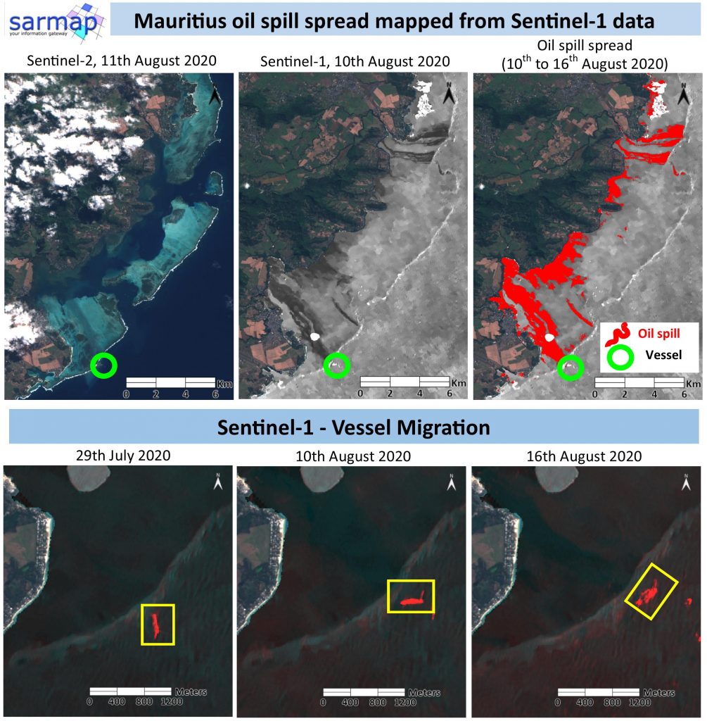
SAR Sentinel-1 data proved their great potential on mapping the oil leakage environmental catastrophe affecting the Mauritius in the last days.
The traces of the oil spreading on the Blue Bay Marine Park are easily visible on SAR Sentinel-1 data compared to the optical Sentinel-2 image.

The maximum extension of the spill has been detected using SARscape and ENVI tools.
The vessel ran aground on a coral reef on 25 July and the leakage started on the 6th August. The migration of the vessel after its breakage has also been mapped through Sentinel-1 SAR data.

Image Details:
Copernicus Sentinel-1, track 78, VV polarization
Copernicus Sentinel-2
Processing tools:
ENVI 5.5.3
SARscape 5.5.3, Intensity Time Series

LinkedIn post