
Today, tens of satellites circle the Earth on a regular basis, taking images of the ground with resolutions of down to a few meters. Most of the satellites used in TransparentForests are equipped with a radar sensor which is able to monitor the land cover even under cloud cover and without the sun’s light. This is an important feature particularly for boreal and tropical regions. TransparentForests maximises the use of spaceborne freely available radar and optical data at resolutions of 10 and 20m, hence ensuring regular monitoring with high level of detail.
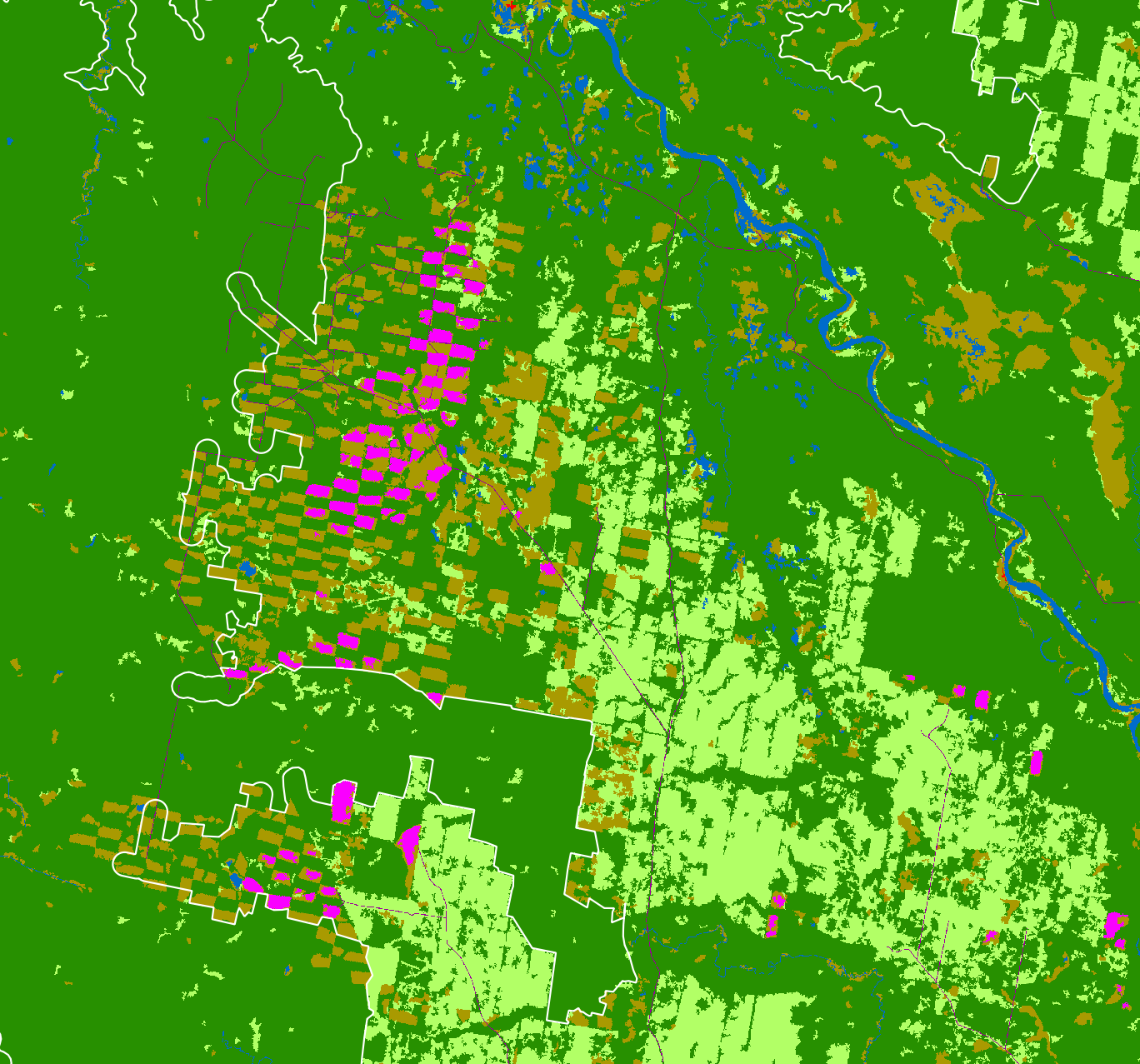
Given the often fast and significant spatio-temporal land cover dynamics, the synergistic use of multi-sensor time-series is essential to obtain a high level of detail and to capture and date changes. The standard product, illustrated in the Figure below and representing the forest status after the boreal night 2015/16, is obtained by fusing Sentinel-1, Sentinel-2, Landsat-8, and ALOS PALSAR-1 time series. It includes natural forest (dark green), forest re-generation (light green), water (blue), bare soil (brown), clearfell 2007-08, clearfell 2008-09, clearfell 2009-10 (violet), forest boundaries (yellow), intact landscape boundaries (red).