
In order to obtain the highest achievable resolution of the system, accurate data processing must be performed along all processing steps, from the motion compensation (i.e. to compensate aircraft motion irregularities) to the geocoding of the height data. Fundamental requirements are the availability of the precise position of the radar antennae using differential GPS and attitude measurements of the platform, knowledge of the exact time synchronization and range delay of the system, and consideration of all necessary geodetic and cartographic transforms. One of the main concerns for automatic Digital Elevation Model (DEM) generation is the absolute calibration of the interferometric phase, which is necessary to obtain the absolute height in the absence of ground control points. To overcome this problem, different phase calibration algorithms, including a three antennae interferometric solution, were developed. The main tasks of the developed operational software are:
- Computation of navigation data
- Computation of motion compensation for data focusing considering airborne motions and topographic variations
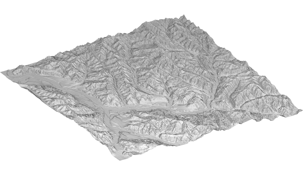
- Generation of geocoded Digital Surface Model using X-band single-pass two antennae interferometric SAR data
- Generation of geocoded Digital Surface Model using X-band single-pass three antennae interferometric SAR data
- Generation of geocoded Digital Terrain Model using P-band repeat-pass interferometric SAR data
- Radiometric calibration
- Polarimetric calibration
- Mosaicing
Publications
F. Holecz, J. Moreira, P. Pasquali, S. Voigt, E. Meier, D. Nuesch, Height model generation, automatic geocoding and mosaicing using airborne AeS-1 InSAR data, IGARSS Symposium, Singapore, 1997.
F. Holecz, P. Pasquali, J. Moreira, E. Meier, D. Nuesch, Validation of Digital Surface Models generated from AeS-1 InSAR data, EUSAR Symposium, Friedrichshafen, 1998.
F. Holecz, P. Pasquali, J. Moreira, E. Meier, D. Nuesch, Rigorous Radiometric Calibration of Airborne AeS-1 InSAR data, International Geoscience and Remote Sensing Symposium, 1998.