
SAR Essentials is a dedicated toolbox for users who work with SAR data in tandem with other geospatial data sources. It features streamlined SAR workflows for operational users, simplifying complex SAR processing.
The software is sold in packages.
Modules and features
- Basic Data Processing
- Compatibility Check
- Download Sentinel-1
- Radar Cross Section
- Height Estimation
- 3D Point Estimation
- Change Detection
- DEM/DSM Height Estimation:
- Moving Target and Sub Aperture Analysis
- Target Detection (Ship Detection)
Basic Data Processing
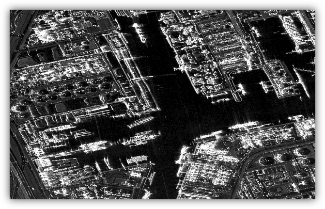
This tool imports and prepares slant-range SAR data for analysis.
The following steps can be executed:
- Import
- Multilooking
- Filtering
- Geocoding
- Layover and shadow mask
Compatibility Check
This tool helps determine whether an input dataset can be used with a specific SAR Essentials tool. The validity check can be performed on a list of images, trying all combinations. Useful for users who are not sure if their data is suitable for various processing chains; and will quickly provide a report on suitability
Download Sentinel-1
This tool performs a query and download of Sentinel-1 data from the Copernicus Data Space Ecosystem or Alaska Satellite Facility (ASF) platform.
Radar Cross Section
This tool extracts the Radar Cross Section (RCS) of targets. RCS is a metric that indicates the level of detectability of an object by a radar.
Height Estimation
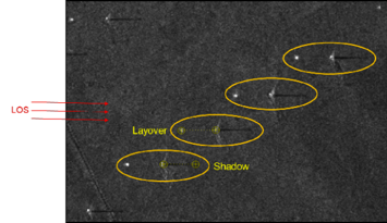
This tool estimates the height of a vertical object in a single image by interactively locating the top and the base of the object of interest.
3D Point Estimation
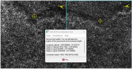
This tool calculates the height and horizontal position of a point using two radar images of the same location.
Change Detection
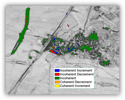
This module identifies changes between two SAR images based on amplitude and interferometric phase incoherent changes.
Used in military intelligence, for search and rescue operations, for monitoring services, disaster response and much more.
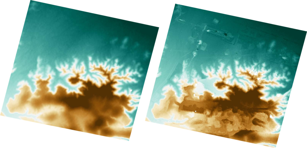
DSM
This module creates a Digital Surface Model (DSM) from phase difference information between two SAR SLC images or from stereo matching information between two SAR SLC or intensity images, using topographic characterization, urban region analysis, and viewshed analysis.
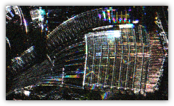
Moving Target
This module analyzes moving targets, detecting moving aircraft, vehicles, vessels, separating moving and stationary objects and infering the general direction, approximate locations and speed of moving objects. In particular, the Dynamic Moving Taret Detection tool is designed for longer dwell mode and spotlight acquisitions (10-30 seconds).
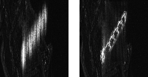
Target Detection
This tool performs automatic ship detection with optional Automatic Identification System (AIS) labeling. It also creates shapefiles of ship locations and tracks. Ships with matching AIS records are further annotated with their names.
Further Information
11th May 2026